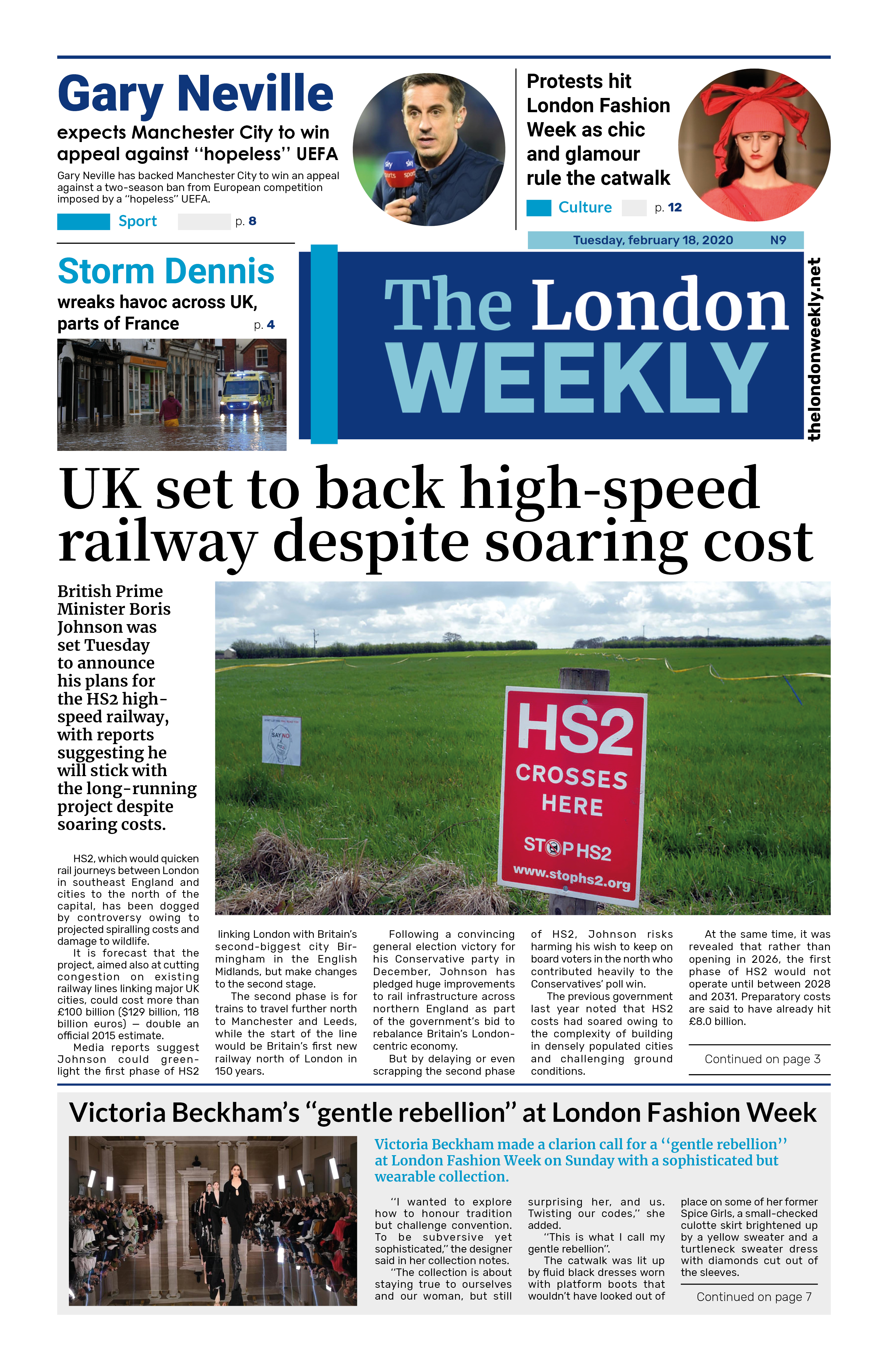
With the fourth heatwave of the summer about to hit, the UK Health Security Agency has issued heat health alerts across England, starting Tuesday morning and lasting until Wednesday.
On Monday, five regions – London, the South East, East of England, East Midlands, and West Midlands – were upgraded from yellow to amber alerts. This means increased health service demand and possible travel disruption.
Where the heat is coming from
A high-pressure system over central Europe is drawing hot, humid air north from Spain, Portugal, and France, where record-breaking temperatures have been recorded. Nîmes, France, hit 41.8°C on Sunday – its hottest August day ever.
UK temperature outlook
Monday: England and Wales will see mid-to-high 20s°C, London around 30°C, with cooler conditions in Scotland and Northern Ireland (low 20s°C).
Tuesday (Peak Heat): Most areas 24–30°C, with London and the Midlands possibly reaching 34°C.
Wednesday: Still hot, though slightly cooler, especially in the west. Central and eastern England, east Wales, and eastern Scotland will likely still meet heatwave criteria.
Tropical nights (temperatures staying above 20°C) are possible in southern England early in the week. By Thursday and Friday, most areas will cool to the low-to-mid 20s, though southern England may still see heatwave-level temperatures.
How long will it last?
The heat should dip slightly below heatwave levels by the weekend, but high pressure may return next week, keeping conditions warm and dry for at least 10 days. Even then, southern areas may see more strong heat.
Rain chances
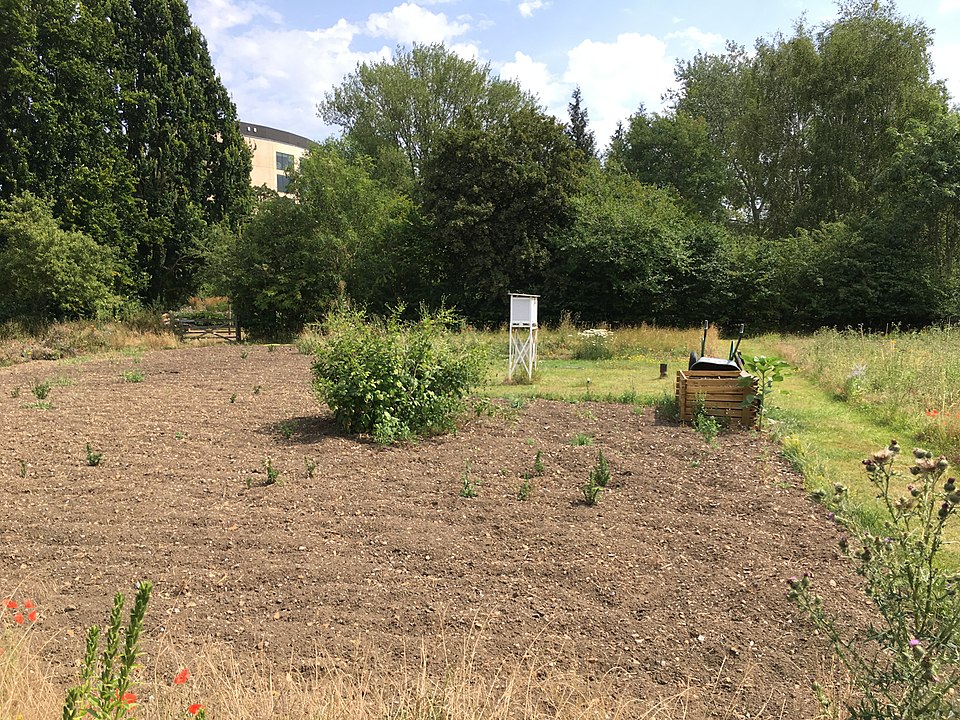
Any rain this week will be patchy and unpredictable. Scotland and Northern Ireland may see some on Monday, with isolated southern showers overnight. More widespread, possibly thundery showers could develop late Wednesday into Thursday, mainly in central/eastern England and Scotland. However, many places may miss them entirely. Photo by Pontificalibus, Wikimedia commons.