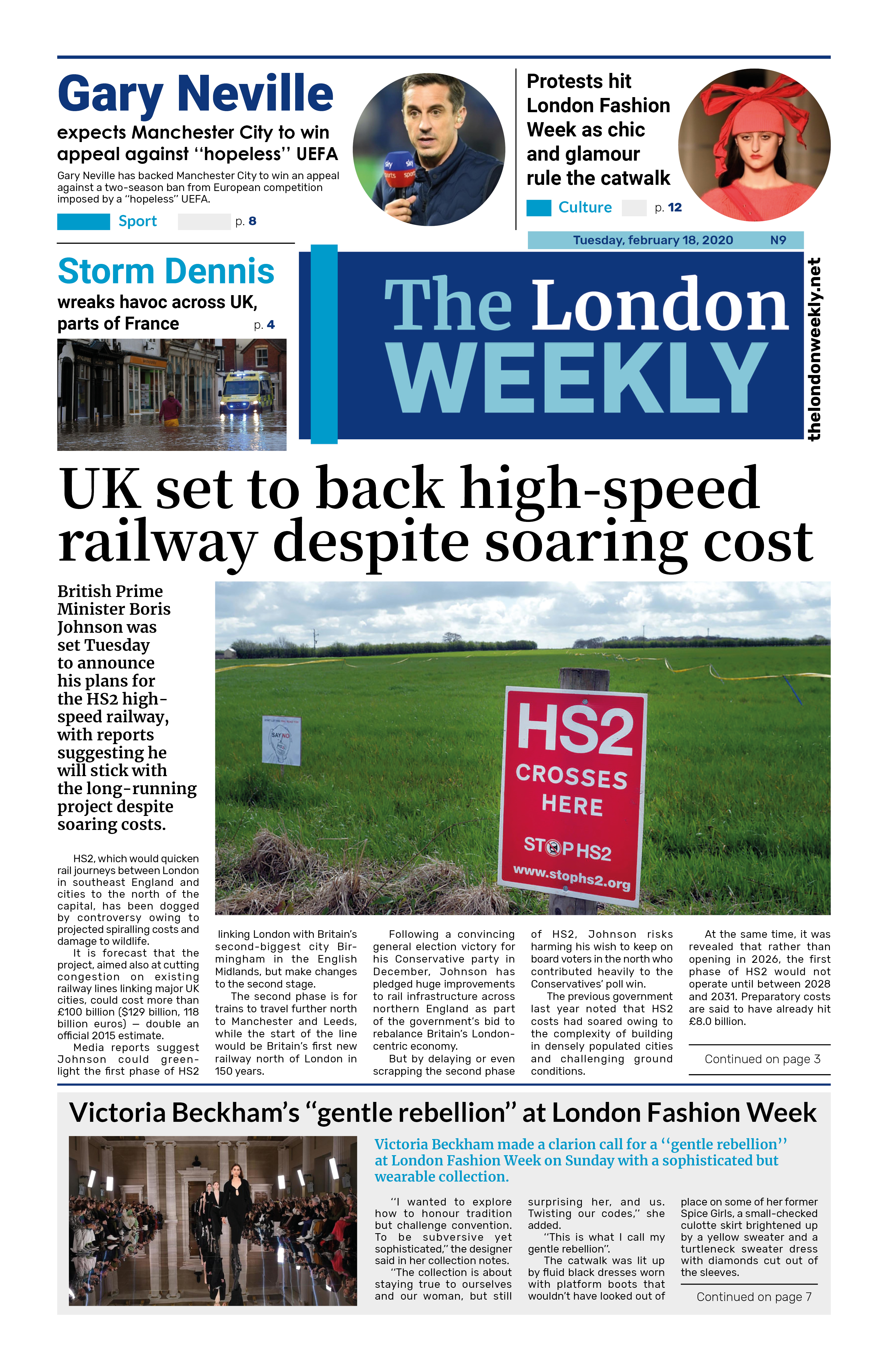
Storm Babet, the second named storm of the season, is set to hit the UK and is expected to bring heavy rain and strong winds, causing potential flooding, power cuts, and travel disruptions.
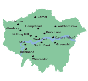
The Met Office has issued an amber warning for parts of eastern Scotland and a yellow warning for England, Wales, and Northern Ireland. In London, heavy rain is expected to start around midday, with continuous wet weather throughout the evening. Scattered showers, some of which may be heavy and thundery, are anticipated for Thursday. While the rain continues into Friday, the weekend should bring drier conditions.
Storm Babet developed to the west of the Iberian Peninsula and is expected to last until Saturday. It poses a risk of flooding, particularly due to heavy and persistent rain falling on already saturated ground. The Met Office Deputy Chief Meteorologist, Tony Wardle, advised staying updated with warnings from local flood warning agencies and authorities as the storm progresses.
As the rain moves northwards, it is expected to stall over central and eastern parts of Scotland, with up to 150-200mm of rain accumulating in some higher ground areas. Parts of England may also experience over 100mm of rainfall during the week, with isolated areas possibly receiving up to 150mm.
The RNLI has issued warnings about strong winds and heavy rain, which could create dangerous conditions along the coastlines of the UK and Ireland. They advise staying a safe distance from the water and cliff edges, as the conditions may be hazardous. If you see someone in danger, call 999 or 112 and ask for assistance, and refrain from entering the water yourself.
The Met Office has noted that low pressure is expected to continue influencing the UK's weather into the start of the next week, potentially bringing further wet and windy conditions. Photo by Christine Matthews, Wikimedia commons.


