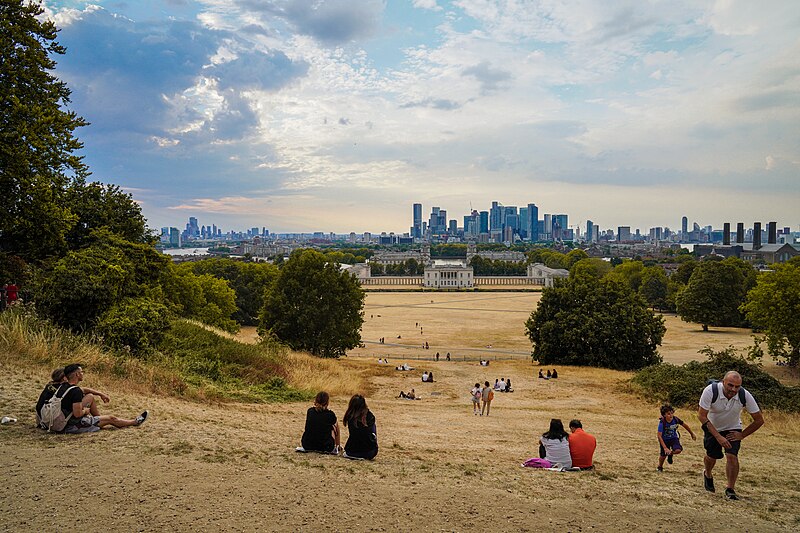
Yesterday marked the hottest day of the year so far, with temperatures reaching 30.3°C at London’s Heathrow Airport. However, Britain’s current scorching heatwave,
with temperatures soaring to around 30°C, is about to be interrupted by an approaching band of rain sweeping across the country.
Much of England has been under a four-day heat health alert jointly issued by the Met Office and the UK Health Security Agency (UKHSA), starting from June 24 and ending today at 5 pm.
Balmy temperatures ranging between 25°C and 29°C have been prevalent across the UK this week, with the Met Office earlier forecasting "plenty of sunny spells" and "very warm sunshine."
Unfortunately, the hot weather is set to come to an end as the Met Office predicts "unseasonably windy conditions" in parts of the UK starting today. Heavy rain is expected in northwest Scotland, while rain accompanied by brisk winds will spread across western England.
Chief Meteorologist Paul Gundersen from the Met Office stated, "A cold front will sweep down from the northwest to the southeast over the next 24 hours, bringing cooler air and an end to the very warm weather that many have enjoyed in recent days. A band of patchy rain, potentially heavy in the far northwest initially, will move eastwards across England and Wales, bringing temperatures closer to average. Thursday will still be very warm in the far southeast, but cooler air will arrive by evening, resulting in a much cooler night across all areas compared to recent days." Photo by Alisdare Hickson, Wikimedia commons.