The UK’s fourth heatwave of the summer is set to bring more sweltering conditions today, with temperatures possibly hitting 34°C in some parts of England, before thunderstorms arrive later
this week.
An amber heat health alert remains in force until 6pm Wednesday for the West Midlands, East Midlands, South East, London, and East of England. Much of the rest of England is already under yellow alerts. The Met Office has also issued a **yellow thunderstorm warning** for most of Scotland and Northern Ireland from midnight to 10pm on Thursday, forecasting “heavy showers and thunderstorms.”
On Tuesday, the mercury reached 33.4°C in locations including Benson (Oxfordshire), Ross-on-Wye (Herefordshire), and Northolt (West London). Forecasters say Wednesday could be even hotter, particularly in Lincolnshire and Yorkshire.
Outlook for the week
Wednesday: Hot and mostly dry, with some showers in the South East and Scotland. Highs of 33–34°C.
Thursday: Slightly cooler, but still warm, with peaks of 29–30°C in East and South East England. Showers and possible thunderstorms in the north.
Friday & Weekend: Very hot weather returning to southern England, with the potential for showers or thunderstorms in the southwest.
Met Office meteorologist Greg Dewhurst said: “The heatwave is likely to last for the rest of the week. Beyond that, it should be a bit cooler, though warm conditions could continue well into September.”
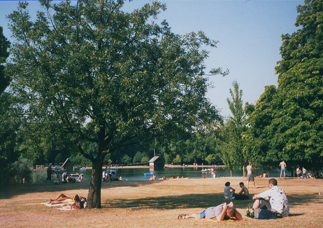
Chief meteorologist Dan Suri warned that Wednesday’s evening storms could bring “fairly wet weather” to northern areas, though exact locations remain uncertain.Photo by Stephen Craven / Hyde Park in a heatwave / CC BY-SA 2.0, Wikimedia commons.