The UK is set for a significant temperature drop, with lows of -7°C (19.4°F) expected as cold health alerts come into effect.
While this cold spell will bring chilly conditions, it is not expected to reach the extreme lows recorded last month, when Scotland saw a frigid -18.9°C.
High pressure over Scandinavia to bring cold conditions
A strengthening high-pressure system over Scandinavia is creating a blocked weather pattern, ushering in an easterly airflow across the UK. This type of system can lead to prolonged periods of consistent weather.
During winter, easterly winds often bring colder, drier air with a risk of snow. However, despite similarities to the "Beast from the East" event in 2018, meteorologists do not expect extreme snowfall in this setup.
Why this cold spell won't be as harsh
There are two key factors limiting the severity of this cold snap:
Milder Air Over Eastern Europe – Air over the Baltic States and Russia is currently 5°C to 10°C warmer than average, reducing the risk of extreme cold.
Modified Airflow – The incoming airmass dips southward before reaching the UK, meaning there isn't a direct, strong easterly blast.
What to expect: wind chill and frosty nights
Although extreme cold is unlikely, temperatures will remain below average throughout the weekend and much of next week.
Southern and eastern areas will experience a notable wind chill, making conditions feel even colder.
At night, temperatures will drop to typical February levels, with frost forming in areas where skies remain clear. The coldest overnight temperatures are expected in northwest Scotland, with lows reaching -7°C in rural areas—though still milder than last month’s extreme lows.
Health alerts in place
The UK Health Security Agency has issued yellow cold health alerts for several regions in England, including the North East, North West, Yorkshire and the Humber, and the South East. These alerts will remain in effect from 9 AM on Friday until 9 AM on Tuesday.
Snow chances: limited but possible
While some may be hoping for snowfall, no significant snow is currently forecast. However, areas in the South and East could see some snow cover on Saturday and Monday.
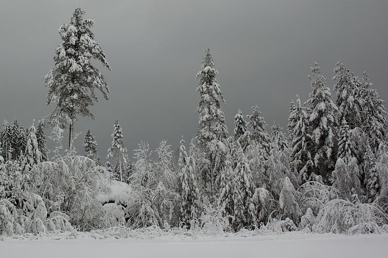
The duration of the cold, easterly flow remains uncertain. Any shift toward milder, wetter conditions could increase the chance of heavy snowfall, as major snow events in the UK typically occur when warm, moist air collides with an existing cold air mass. Photo by Ernst Vikne, Wikimedia commons.