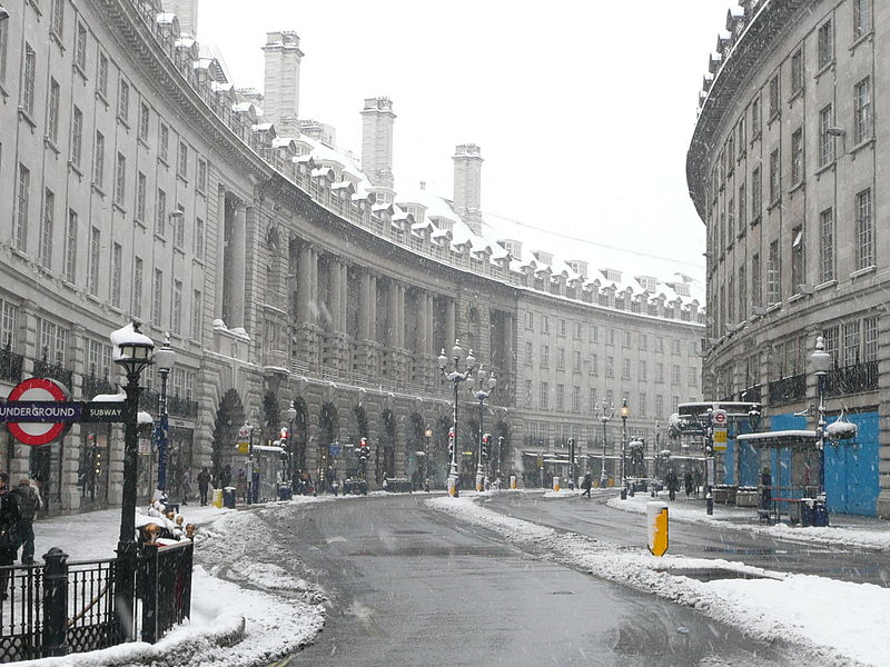
The UK is expected to experience colder weather this week due to high pressure from the northwest, according to the Met Office. Despite some rain showers, the overall forecast is dry and
cloudy. However, the Met Office has indicated the possibility of snow over the weekend, which depends on how the pressure in the northwest moves. It is currently too early to predict how this will impact London.
A spokesperson for the Met Office stated that London will likely experience mid to high single-figure temperatures with a cool breeze from the east, leading to a colder feel over the weekend and early next week. The current weather pattern is referred to as a blocking high, where high pressure remains consistent in the northwest from Saturday onwards, reducing the chances of significant rainfall across the country.
While there is a possibility of some sporadic showers on Saturday afternoon and Sunday, the chance of snow in London is low. The showers are expected to be light and sleety in nature on Sunday morning due to the cold air. However, the spokesperson emphasized that it is unlikely to accumulate to any significant effect.
Moving into next week, the weather is expected to remain dry, with some chances of showers depending on the weather in the northwest. The spokesperson added that there might be some cloudy skies throughout the week, with chances of showers at times. However, as forecasting specific regions becomes challenging beyond a week, it is difficult to predict what the weather will be like towards the end of next week and the following weekend. Photo by Jon Curnow from London, United Kingdom, Wikimedia commons.