


Fresh weather maps warn that Britain is bracing for a severe Arctic cold snap, with heavy snow and bitter temperatures expected to grip large parts of the country over the coming days.
The UK Health Security Agency (UKHSA) has issued an amber cold-health alert for the North East, North West and Yorkshire and the Humber, reflecting the increasing risk to vulnerable people. The Met Office has also released several yellow warnings for snow and ice across Scotland and northern England, in place from Monday through Thursday.
According to new WXCharts forecasts, the first major cold spell of the season will sweep across the UK from Tuesday, November 18, to Friday, November 21. Large areas of northern England, Scotland, Wales and Northern Ireland are set to see snow showers—many of which are expected to settle.
Met Office chief forecaster Paul Gundersen cautioned that icy patches may form on roads and pavements on Monday night as scattered showers move into northeast England and northern Scotland. Early on Tuesday, a band of rain will push into western Scotland and may turn to snow as it spreads inland.
Although the precise path of the weather system remains uncertain, higher ground is likely to see notable accumulations. Areas above 150 metres could receive 2–5cm of snow, with up to 10cm possible above 400 metres. These conditions may create disruption for travel and infrastructure across Scotland’s upland regions.
By Wednesday, a “strong and very cold northerly flow” will intensify the chill. Deputy chief forecaster Tom Crabtree said this midweek period poses the greatest potential for impactful weather, noting that overnight lows could drop to –10°C. Strong winds will add a significant wind chill.
Snow showers are expected to drift south through Wednesday and Thursday, primarily affecting north-facing coastal areas. Some low-lying regions in the north and east could see 2–5cm of snow, while high ground in Northern Ireland, northern England and Scotland may receive 5–10cm. In places above 300 metres in northeast England and Scotland, totals could reach 15–20cm.
Despite brighter spells during the day, temperatures will remain well below average, and widespread frost is expected each evening—especially in sheltered locations. With this being the first major cold spell of the season, the Met Office warns that further updates to weather alerts are possible.
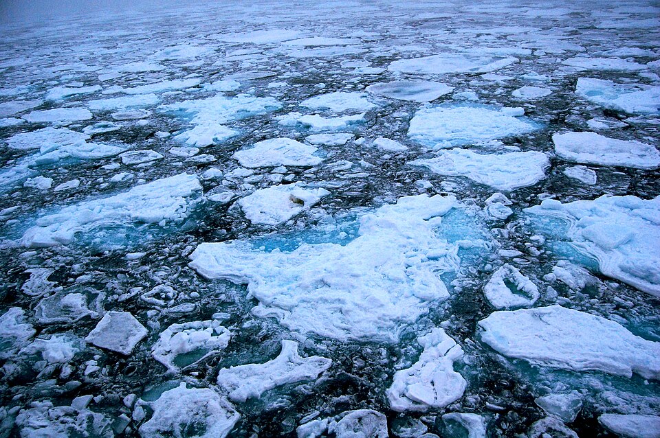
Conditions are expected to turn drier from Friday, with milder air and rain moving into western areas later in the day. The UKHSA’s amber health alert remains in force for northern regions of England, while a yellow alert covers the rest of the country from midday Monday until 8am on Saturday. Photo by Pink floyd88 a, Wikimedia commons.