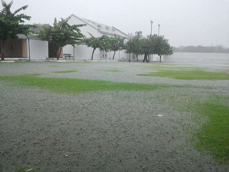
The Met Office has issued further weather warnings as Wales braces for more heavy rain at the start of the new working week. Following a weekend marked by
thunderstorms, lightning, and hail, the autumn equinox on Sunday officially ushered in the new season.
Rain warnings were in place throughout the weekend, and a new yellow alert came into effect at midnight, extending through all of Monday, September 23, covering large parts of Wales. An additional amber warning, affecting areas near the Welsh border, took effect at 5 a.m. and will remain in place until 9 p.m.
Some regions could see between 100 and 120mm of rainfall, and forecasters have cautioned that further warnings may be issued later in the week.
Met Office Chief Meteorologist Frank Saunders explained, "Following the heavy rain seen on Friday, Saturday, and Sunday, the new working week begins with continued rain across a wide area of England and Wales. Some regions will be more severely affected, depending on where the weather system stalls and pivots."
He added, "During this warning period, which includes two rush hours, some areas could experience between 50 and 80mm of rain, with the possibility that a few locations may see more than 100mm. This brings the risk of travel disruptions and localized flooding."
Heavy rainfall could result in significant disruption, with some communities potentially being cut off by flooded roads. Floodwaters and spray are expected to create hazardous driving conditions, and road closures are possible.
Additionally, the Met Office warned of potential power outages and disruptions to other services in some homes and businesses. Delays or cancellations to train and bus services are also likely.
Looking ahead, temperatures are forecasted to drop below average for this time of year across the UK, with cooler northerly winds beginning to move into Scotland. Temperatures are expected to fall into the low teens, with the cool air eventually spreading to many areas of the UK. Photo by heavy rain, Wikimedia commons.


