


Weather warnings are in effect across England and Wales on Wednesday as the UK continues to face wet and windy conditions. A yellow storm alert stretches from London to Manchester,
covering much of the Midlands and Wales, lasting from 09:00 to 19:00 BST. Additionally, a yellow warning is in place for strong winds along the south coast of England throughout the day.
According to the Met Office's provisional data, last month was one of the wettest Julys on record in the UK. The country experienced its sixth rainiest July since data collection began, with 140.1mm of rainfall, over two-thirds higher than the average for this time of year. Northern Ireland saw its wettest July on record, with over double its average rainfall (185.4mm). Greater Manchester, Lancashire, and Merseyside also witnessed their wettest Julys since records began.
The recent wet and cool weather, in contrast to the heatwave in much of Europe, is attributed to the position of the jet stream. The jet stream's low-pressure system has brought cold and wet weather to the UK as it remained south of the country, marking the boundary of cold air to the north and hot air to the south.
The weather has led to the cancellation of some summer festivals and events, impacting performers and businesses. Despite the easing of pressure on natural water sources, experts warned that a wet July won't fully replenish rivers and lakes after last year's drought and dry May and June.
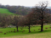
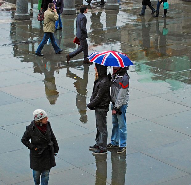
Scientists speculate that higher temperatures in the Arctic due to climate change may be slowing the jet stream, increasing the likelihood of prolonged high-pressure systems and hot weather. With global warming expected to continue, hotter temperatures and wetter periods are projected to become more typical for the UK. Photo by DncnH from Melton Mowbray, UK, Wikimedia commons.