


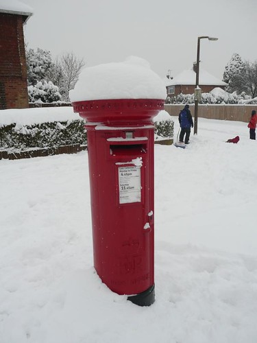
People living in Wales and the far west of England could wake up to a widespread dusting of snow on Monday as they start the working week.
Wintry conditions affected higher altitudes in the west of the country on Sunday, with some snow showers also hitting parts of The Pennines and the North York Moors.
But forecasters expect snow to spead to lower areas of Wales and the South-West peninsula by morning.
Rachel Vince, forecaster with MeteoGroup, the Press Association's weather division, said: "It should affect lower areas by tomorrow, especially in Wales, including some of the bigger population centres.
"The question is how far east this will go. Many people starting the working week probably will have some snow."
But she said it was unlikely any snowfall at lower levels would be substantial.
The likely limit of the snow showers is a line between Liverpool and the Isle of Wight but forecasters say the exact extent is difficult to predict.
The Met Office issued an amber warning of snow for parts of Wales, saying the hilly parts of the south and south east of the country could get as much as 10cm.
It said higher areas of south-west England, especially Exmoor, could see 5cm of snow but lower areas are more likely to see a 1-2 cm "slushy covering".
The Met Office has also issued a warning of severe cold weather across much of England until at least Thursday. The next few days look like being the longest spell of cold weather so far this winter.
Press Association, redpopcreative